The same range, without the abstraction
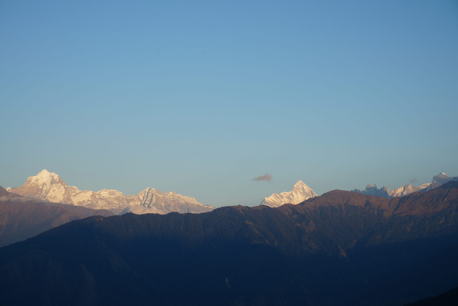
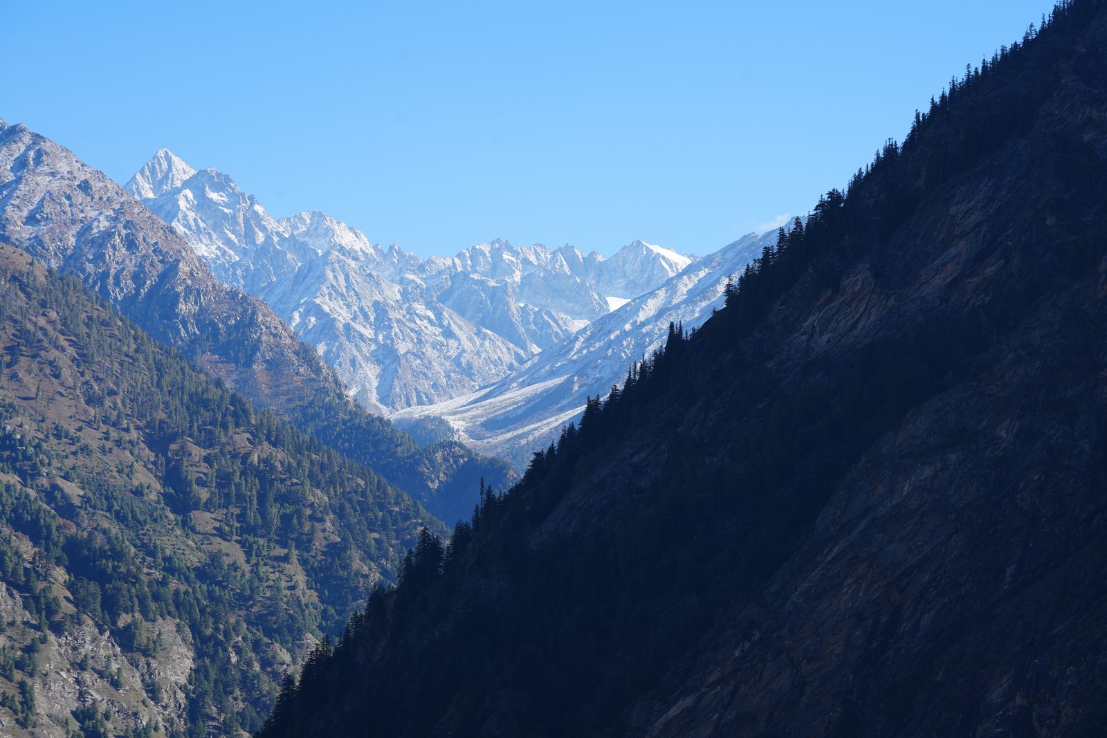
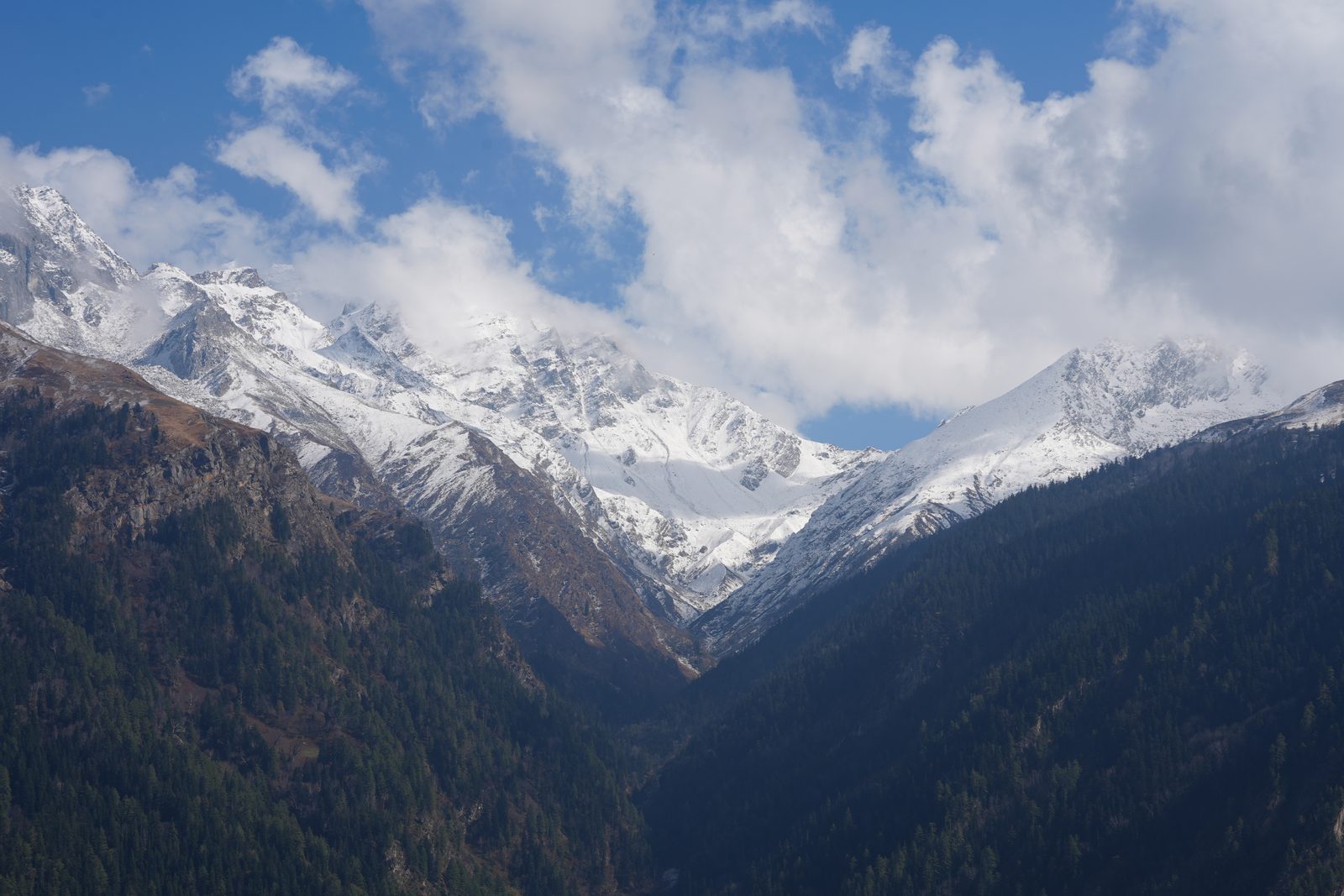
Photographed on the expeditions the map records. A point is a valley we have walked, not a coordinate we are publishing.
Satvic Seeds · The Atlas
The Indian Himalayan Region runs from Jammu & Kashmir to Tripura — thirteen states and hill regions on one arc. Since 2018 our work has covered one of them, deeply. Select any state for its status; enter Uttarakhand for the valleys — brass points hold accessions, glacier points are natural landrace populations.
How to read this map. Points mark valleys, never populations. We publish the district and the elevation band; exact collection sites are never public — a rare population with a public pin is a population that is gone in two seasons. Genetics marked Register are supplied only to verified licence holders through the Register; everything marked Catalogue sells openly.
The same range, without the abstraction
Photographed on the expeditions the map records. A point is a valley we have walked, not a coordinate we are publishing.